Sierra

Sierra
Sierra

Sunday, July 31, 2011

Sunday, 07/31/11 Summer Vacation Week

Sunday, 07/24/11

Mosquito Peak 13,781
Repeater Peak 13,548

8.6 miles/2,621 vert./~1:47/151 avg. HR Garmin Data

Allison and I met up with George at the junction of 9 and Mosquito Pass Road and gave him a ride up to the London Mine where we began our run, while Allison and Sierra took a casual hike.

Our running pace from the start felt labored and I was really sucking wind trying to adjust for the lack of oxygen, despite my relatively low 148 HR. For the first 10-15 minutes I was trailing George and I almost just told him to go on without me, as I did not want to slow him up, but a few shorts stints of walking seemed to put me back on track and I felt better and better as the run progressed.

It took us about 40 minutes at a somewhat mellow/moderate pace to get to the pass, where we stopped for a minute or two, before continuing on the road to the North that traverses the West side of Repeater and Mosquito Peaks. I started off running quickly for no real reason, other than I was inspired by running on the high ridge at 13,000+ feet and it just felt good. The road is a rolling ascent to the Treasurevault/Mosquito Saddle and we were moving at 7:46-low 8 min/mi pace for a while. I slowed to take a gel (good practice for me since I really am terrible at it when running hard) and while I was a bit preoccupied with that, George passed, opening up a bit of a gap. I had a tough time closing it back, as he made me work for it, but we soon stopped at the saddle to discuss our return route.

I was tempted to blast back on the road, as I was really enjoying the high altitude turnover, but the mountaineer in me won out and I wanted to summit Mosquito and Repeater (though I had climbed them before).  I think may have been new for George. We decided on different routes up the peak, where I opted for going straight up the fall line and George contoured a bit on the West side.

I spent 5 or 6 minutes on Mosquito, before we took off for Repeater, where I spent another 5 or so. From there, we headed almost to the pass, trying to balance shortcutting with safe snow travel.

The descent down the road went quickly as we talked about Pikes (of course) and we soon met up with Allison and Sierra at the final switchback, within sight of the car. I walked down with her, while George ran back and forth on the road trying to make his run longer than mine…. ;).


Monday, 07/25/11

North Star Mountain 13,614

8.5 miles/2,500 vert./4:04 Garmin Data

Allison, Sierra and I started from Hoosier Pass and followed the dirt road to the private property gate at ~12,200 feet. Figuring it was to keep out 4wd vehicles (not doing a good job), or to cover any legalities, we cautiously proceeded forward to the first false summit.  From the false summit, it is another ~1.5 miles of ridge, over another false summit to get to the slightly higher true summit. Allison decided that the 2nd false summit was good enough for her, so Sierra and I continued on and caught up with her on the way back. The ridge is not technical, but it is rocky and progress can be a little slow (it took me nearly 30 minutes each way, walking quickly, but never running).

Mt. Lincoln

I respect and obey all such signage

Snow in July, Sierra's favorite


Democrat, Clinton, Traver, Mcnamee, Wheeler Lake

Quandary

Looking back at the looong ridge
 Sierra on the summit


Ptarmigan

Looking back on the summit


Tuesday, 07/26/11

BroCamDemCamLin (Bross, Cameron, Democrat, Cameron, Lincoln)

16.02 miles/6,087 vert./4:17:13/avg. HR 149 Garmin Data

The views of Bross and Lincoln from the cabin we stay at on Nuthatch Dr. near Hoosier Pass are unobstructed and outstanding, where I find myself spending long moments staring upward, plotting routes if I were going to head up there (have been plotting routes since we started visiting the cabin in 2004). I finally had the opportunity to go run these peaks from the cabin, which made for an amazing outing and unique experience.

I left the cabin at 6:01am and headed down Nuthatch, crossed the river and then ran up Roberts to the Quartzville jct.. There are quite a few Private Property and No Trespassing signs, but at 6:30am, there were not many people stirring, so I ducked through a few undeveloped “roads” until I came to a dead end and just began bushwhacking in a SW direction through the woods. Before long, I broke out of the trees and headed in the direction of Windy Ridge and the road that ascends the East slopes of Bross. Footing was variable, so I jogged occasionally, but was mostly a fast hike from the lower dirt roads all the way to the summit of Bross.

It was my intent to run the road to the summit of Bross to add some miles and true running at altitude, but once I got there and tried it, I was just not into it and reverted to my favorite method, going straight up the fall line. I made it to the Southern side of the summit after 1:37 of running/hiking, then 2 more minutes to the true summit cairn/shelter for a 1:39 trip from the cabin. It was overcast and colder than the previous days, so I did not linger and began boogying toward Cameron which took another 16:38. The run to the Democrat saddle was an easy cruise (11 minutes), then another 18 to the summit of Democrat (which felt like a bit of a slog, as it is steep, was crowded and footing is not great). Footing was even more dodgy on the descent and the crowds (surprising for a Tuesday) did not add to my efficiency. I was moving quick, but as the trail steepened going back up Cameron, I soon reverted to hiking mostly, but picked up the pace near the summit to something resembling a run (it took me 35 minutes to get back, 6 minutes slower than going to Democrat, but a bit more gain). I contemplated tagging Lincoln and then going back over Bross to add some miles, but once I was on top, all I wanted to do was head down.

Once I dropped off the summit of Lincoln to the East (steep scree), the mellow grassy slopes made for some quick progress and I was very near tree line in about 20 minutes. My only real delays were a few steep snowfields blocking easy access to the road out, so I had to scout my way around and cautiously negotiate some steep talus, thick willows, travel through a creek, sidehill for longer than hoped, then traverse a not too steep snowfield (still slow though). I was glad to eventually be back on the road and regretted passing the curve in the road higher on the mountain that would have brought me into the valley between Lincoln and Bross which would have made for faster and less stressful cruising.

Once I got back down to Placer Valley, I was feeling pretty beat and the few hundred feet of vertical back up to the cabin was a bit painful. I really wanted to walk, but pressed on just to build character and get it over with.

This was a solid run and though I did not push very hard (OK, pushed a little bit at times), it felt great to get in a 4 plus hour run, much of it at a very high elevation.


Bross as I broke treeline


Mining ruins at around 13k

From Cameron looking toward Democrat

Ascending Cameron from the Democrat saddle

Looking back at Democrat

Lincoln

Slightly scruffy upper few hundred feet of Lincoln (not bad, but not great for running)

Descent route (you can see the road I should have followed on the right of the picture)

Looking back up

Consolation for getting "off route"

Wednesday, 07/27/11

McCullough Gulch

3.02 miles/953 vert./2:31:56 Garmin Data

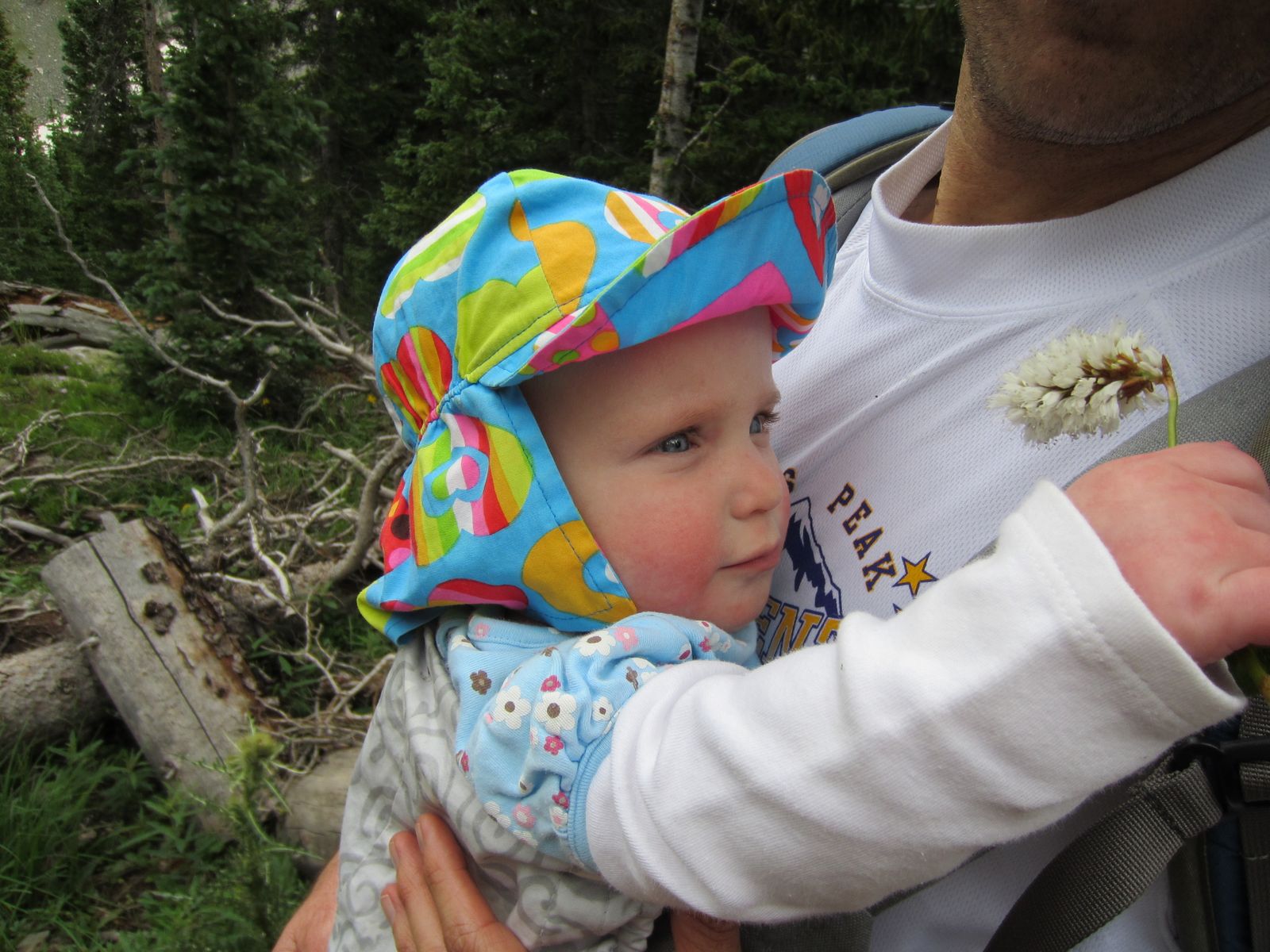
Easy hike with Allison, Amelie, Isabelle and Sierra. Went super slow and easy, showing the girls the world we love and stopping often for pictures.




Thursday, 07/28/11

Hoosier Pass/Pt. 12,214

3.11 miles/662 vert./1:30:01

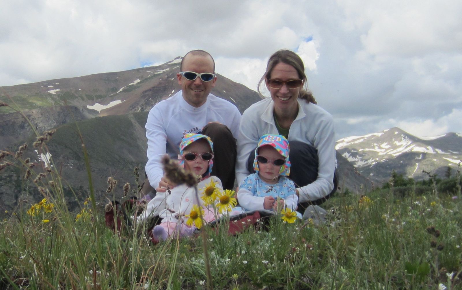
Stopped on Hoosier Pass for one last hike on the way home. Again, very easy walk with a lot of picture taking. The girls really seem to enjoy these hikes and did not fuss once which was promising.




Friday, 07/29/11

Green Mountain

Up/Down front 3.9 miles/2,348 vert./1:08:02 (39:28up)/avg. HR 129 Garmin Data

Started a bit before 7am, went super easy on the up and down and had about a minute delay on the up for an unexpected snake in the trail. I of course jumped and made an embarrassing and involuntary yell that one can only make when almost stepping on a snake. I knew it was a bull snake and not a rattler, but gave it a wide berth regardless and then paused to observe. Took a bit of an alt. route on the descent for an emergency bathroom break.

Saturday, 07/30/11

Green Mountain

12.16 miles/2,844 vert./2:08:54 (1:27:26 up)/142 avg. HR Garmin Data

Started from 5th/University, headed up Canyon to Red Lion, ducked the fence and then proceeded up Chapman Dr. to Ranger/Greenman, then down Ranger/Flagstaff. Was super hot out there between noon and 2, but I felt decent aside from the final ~2 miles when I became a stumbling fool. I never pushed, just cruised mellow trying to not exert myself too much.

Saturday, July 23, 2011

Saturday, 07/23/11 Green

Up front/down back (from Chautauqua) 5.95 miles/2,663 vert./1:20:14 (34:50 up) Garmin Data

Got out with GZ for a lap on Green.  My intent was to hammer this out and shoot for a PR.  I felt decent early on, but did not really have it today and slowly faded over the ascent.  I turned around and headed back down a few switchbacks and met back up with George as he was taking it intentionally easy.  Headed down the back way at a casual pace (~26) and was good to chat and catch up.

Thursday, July 21, 2011

Thursday, 07/21/11 Boulder Creek Path

10.62 miles/622 vert./1:26:29/avg. HR 147 Garmin Data

Mid day run in the heat with Allison and the girls in the jogger (the girls, not Allison).  Mostly a mellow run with a little bit of moderate effort in the middle.

Wednesday, July 20, 2011

Wednesday, 07/20/11 Green Mountain

Up/Down Front 4.03 miles/2,326 vert./58:13 RT (35:53 up)/154 avg HR Garmin Data

Despite it being really hot this afternoon, I was minimally impacted by the heat, so perhaps my frequent suffering as of late has finally helped me to build some tolerance.  Or, perhaps it was just a good day, aided by the fact that I took 2 days off (much needed day off on Monday and involuntarily on Tuesday with being a good dad obligations).  For some reason, last weekend really kicked my ass, I think a perfect storm of heat and a few piss poor nights of sleep.

Today I went a pace that felt really easy on the up and down and the splits for both felt appropriate, or even generous for the relative lack of effort I put in, as I felt I was totally "soft pedaling" the entire time.  I think I am back on track and hope to gain some good momentum as I have the next 10 days off and will be spending 5 of them at 11k and hope to get in a few quality high altitude runs in.

Sunday, July 17, 2011

Sunday, 07/17/11 Green

Up back/down front 4.73 miles/2,438 vert./1:18:44 RT (46 up)/128 avg. HR

Woke up at 4am after a terrible night of sleep tossing and turning (for no particular reason).  I fought it for a while, but eventually got up and headed out the door in a fog. It took my full concentration just to drive to the TH, I hardly even remember doing so. Started from the Gregory lot at 5:10am and stumbled for a bit in the dark, trying not to trip on the rocks or stumble into the poison ivy. Cloud cover to the East kept things dim until after the ranger cabin and I was hoping that better light would help, but I felt full on crappy this morning and alternated between hiking and what I would call a poor example of jogging. Call it wogging.

I was relieved to make the summit and the relatively slow 46 minute split does nothing to indicate the struggle to get there. I have had MUCH easier days going up 10 or 11 minutes faster with the dog. Spent a moment on the summit watching the sunrise to the East, but in the interest of getting to work, I headed down the front at what I hoped would be an easy cruise. Unfortunately, I felt worse on the down, absolutely no coordination or skill or strength and even walked a few times (felt like walking the whole thing, but was in a hurry). My goal was just to get back to the car without taking a header into the rocks and this foggy and sluggish run had me questioning any vague thoughts of ever trying a 100 miler.

Amazing how one day I can cruise the descent of Green in 19 minutes like nothing, then a few days later, struggle to go down in 32. As GZ likes to say, some days you are the windshield, other days you are the bug. This weekend I was certainly the bug.  I need to really get my shit together if I even hope to finish the Pikes Peak Marathon on August 21st, much less break 5 hours.

Edit:  finally got around to downloading my garmin data.  HR was 128 for the RT, 145 for the up and 104 for the down.  Sounds crazy to me because this run was such a struggle, but totally makes sense and reflects the very sluggish times.  Guess I just couldn't "get it up" so to speak ;).

Saturday, 07/16/11 Bear/SoBo

9 miles/3,418 vert./1:56:55/159 avg. HR Garmin Data

Started from the Bear Mountain Drive TH a bit after 4pm.  For the first 5 minutes or so, I thought I was going to have a great run, but before long, I was dogging it a bit and once I hit Fern Canyon, I knew I was in for it.  The original plan was to get all 3 peaks, but as the run hike progressed, I knew I would be lucky to tag 2 summits.

From Bear, I headed over to SoBo, then back to Bear and down W. Ridge, looking for some easier cruising and would give myself the option to summit Green if I felt better.  I was tired, hot and uncoordinated on the down (and the previous ups too) and it became a bit of a death march back to the car.  Though the meager stats do not indicate as such, this one really hurt and felt like a lot of hard work.

Friday, July 15, 2011

Thursday, 07/14/11

Morning/Afternoon:  Lost Lake in Indian Peaks.  4.5 miles/815 vert.

Hike with the family, but with the late start (11:30am), we were limited by the quickly building storms.

Afternoon/Evening:  Green Attempt

2.16 miles/1,454 vert./31:54/avg HR 159 Garmin Data

Was just about 15 minutes too late on this run.  Started around 4:45pm up the front side and within minutes started to hear thunder.  Unfortunately, the lightning was getting closer and closer, but I kept going with high hopes of it tapering off.  Just past the Saddle/Greenman jct., it was getting to be a bit too close for comfort and continueing up was just a dumb idea, so I turned around with my tail between my legs and boogied down.

Of course the storm cleared as I sat in one of the better traffic jams of the last few months and ended up with 35 minutes of driving for 31 minutes of running.  Sweet.

A few pictures from the hike:


Tuesday, July 12, 2011

Tuesday, 07/12/11 Green Mountain

Up/Down front  4.12 miles/2,279 vert./52:19 RT (33:08 up/19:11 down)/169 avg. HR Garmin Data

Decent day on the mountain with the light rain at the start, overcast sky, cooler temps, damp trail, good legs and good breathing (no phlegm choking today).  Started reasonably conservative, but with a ~6:20 ish split at the first check, I knew it would be a good climb.  I upped the effort a bit, but never felt like I was digging too deep.  Was pretty close to PR pace most of the way and I think I got a bit complacent with the effort and just rolled a comfortable pace, pushing, but not at the same time.  Felt way easier today than the labored 34:++ 2 weeks ago and even though it was not a PR or in the 32 range as I was hoping to sneak in at, it was my best time this year.

Ran well on the descent, feet felt very accurate and precise today (despite tripping up the stairs today at work and almost spilling my lunch), so I rolled pretty well, but never really taking any chances either, just let it flow.  Was happy too with the RT time, perhaps one of my top 3 ever.

Sunday, July 10, 2011

Sunday, 07/10/11 Green Mountain

Up back/Down front 4.72 miles/2,316 vert./1:00:07/155 avg. HR Garmin Data

Reasonably moderate run, pace was governed a bit by the heat on the up.  Funny, after living in Florida for 5 years, I thought I did well with heat, but over the past few years, it really has come to wear on me, perhaps it is just me getting old or something.

Some distant thunder at the summit, not so distant on the descent and started to rain just as I finished.  By the time I was driving home, the storm was in full swing and I felt bad (kind of) for the poor saps still heading up the mountain as I descended.

Saturday, July 9, 2011

Saturday, 07/09/11 Boulder Creek Path

5.56 miles/169 vert./45:41/135 avg HR/8:12 pace Garmin Data

Easy run with the girls, just getting out of the house for some fresh air after a few errands.

Friday, 07/08/11 Green/Bear

9.38 miles/3,825 vert./2:11:29/150 avg. HR Garmin Data

Afternoon run, fairly warm, but not blazing hot at least.  Moderate to casual effort, as my legs were still feeling my Mt. Princeton run (mostly on the downhill though).  I took the descent off of Bear very easy, as my Saucony Kinvara 2's were a little light on rock and toe protection.

Thursday, July 7, 2011

Wednesday, 07/06/11 Mt. Princeton

Mt. Princeton, 14,197 ft.
07/06/11
13.29 miles
5,182 vertical
2:58:49 RT (1:53:24 ascent)
165 avg. HR (169 avg. HR for the ascent split)
13:27 min/mile pace
Partners:  Brandon Fuller, Sean O'Day
3rd ascent of Princeton
242nd 14er ascent
Garmin Data


Having worked several holidays, including the 4th of July, I have some PTO to burn and decided to take Wednesday off to go run a 14er for some long overdue Pikes “training”. It had been nearly 11 months since I have been to 14k (or above 8,500 ft.) and have only had 2 casual trips above 13k in June, so I was eager to get up there and see how I felt pushing myself a bit. I knew Brandon was in Leadville for the week, so I asked him to join and he was game. I also sent Sean an invite and he quickly signed on as well.

I left Louisville at 6:51pm and it took me exactly 2 hours to get to Brandon’s house in Leadville. It was raining and storming most of the way, but I did not care as I was so excited to be heading to the mountains and was enjoying listening and laughing to Adam Carolla podcasts. I always get a kick out of leaving the house when it is 80 degrees or more and in less than an hour drive, it is 46 degrees and raining. As much as I enjoy camping, it was comforting to know that I did not have to find a campsite and set up my tent in the dark. Brandon provided excellent accommodations and I slept like a rock on the brand new bed they got the day before.

I was up a little after 5am and we were out the door a bit before 6 for the ~45 minute drive to the TH. We started at 7:01 from the lower trailhead at 8,900 ft., running up the relatively gradual dirt road. Although a conservative start was my intent, my HR felt high and I was slow to find a good groove. After about a half mile, I met Sean as he was descending from his bivy at ~11,000 feet near the radio towers and he jogged with me for a bit, as we exchanged pleasantries, but I was sucking wind a bit and not much into conversation at the time, so he soon opted to wait up for Brandon and warm up for a bit.

After about a mile and a half, I felt as though I was settling into a good rhythm and was completely enjoying the perfect morning and the solitude. I passed Sean’s Jeep a little ways above the radio towers and tossed one of my hand bottles to grab on the return trip. I was amazed at how quickly the valley dropped away below me and what seemed like a significant challenge on the drive in, was becoming absolute nirvana.

Treeline and the immediate turn onto the trail came quickly and I passed two groups of 4 (maybe 6 in the first group?) in quick succession, heading for the summit and got the usual reactions one normally gets from others when running a 14er (awe, disgust, bewilderment, envy, pity). From the junction to the summit, it was just me and I settled in for the long ascending traverse below Tigger Peak and up to the Tigger/Princeton saddle. I made good progress across the talus, always scanning ahead for the most efficient line (but perhaps not always finding it).

The final 800 feet or so was a bit of a slog. I felt decent, but the cumulative effort and altitude were definitely taking it out of me, so I just took it somewhat mellow, saving some in the tank for the long descent. Once on the summit, I was surprised to see a group of 6 or so women huddled in the rock shelter and two other guys who had been on the summit since before sunrise to take pictures. I swallowed a gel as I took a few pictures and was soon on my way.

I descended at a quick, but cautious pace on the uppermost section of mountain, as it is steep and the trail is ill defined with a good bit of loose rock and scree. I passed Sean a few minutes into my descent, then Brandon closer to the saddle. Once below the saddle, the trail improved a bit and I upped the pace accordingly.

Feeling rock solid and as if my feet could do no wrong, I kept the tempo high along the rocky and very technical descending traverse, completely in the zone and could not have felt happier or more alive. Once beyond the technical challenges, I continued to up the pace until I was seeing pretty consistent mid 6 minute mile pace on the watch. My goal was to run the round trip in under 3 hours, but frequent checks of the watch were telling me it was going to be quite close, but my pace or mindset never wavered. Below the towers, my watch said I had 20 minutes to cover 3 miles to achieve my goal and was sure I could do it. I never felt like I was pushing, but was just comfortably flowing, almost as though I were on wheels and sprinted into the lot at 2:58:49. I felt really pumped, but then soon reminded myself that Pikes is twice the distance and I still have a good bit of training to put in if I hope to do well.

I hung out at the car for a bit, eating, drinking and lounging in the shade as I waited for Brandon and Sean to finish. Once they arrived, we chatted for a while and then went out to lunch in Buena Vista.

This was an all time great day in the mountains, a solid run on a perfect day with good friends and no crowds.

Splits:

Radio Towers at 11k:  38:11
Turn off of road to single track at treeline:  59:40
Summit:  1:53:24
Back to road:  2:27
Back to towers:  2:37(38?)
Finish:  2:58:49

About to get into the talus traverse.

Antero from the saddle.

Looks like just minutes to go from the saddle, but was more like 15 or so (I think)

Antero from the summit


Looking West at point 13,971 (debated going to get it)

Looking N. toward Yale, Harvard, Columbia etc...

We were way up there...

Tigger on the left, Princeton way back there to right of center

Zoom shot of summit.

Brandon finishing up

Tuesday, July 5, 2011

Monday, 07/04/11 Green Mountain

Up middle route, down front 5.2 miles/2,351 vert./1:14:08 (47:42up)/135 avg. HR Garmin Data

Same route as yesterday, but in reverse and I started 30 minutes earlier.  Was debating how hard to push, but decided it would be best to go easy and save it for Wednesday.  The morning was perfect and I was the only one out there, I even went shirtless with split shorts.