
Mosquito Peak 13,781
Repeater Peak 13,548
8.6 miles/2,621 vert./~1:47/151 avg. HR Garmin Data
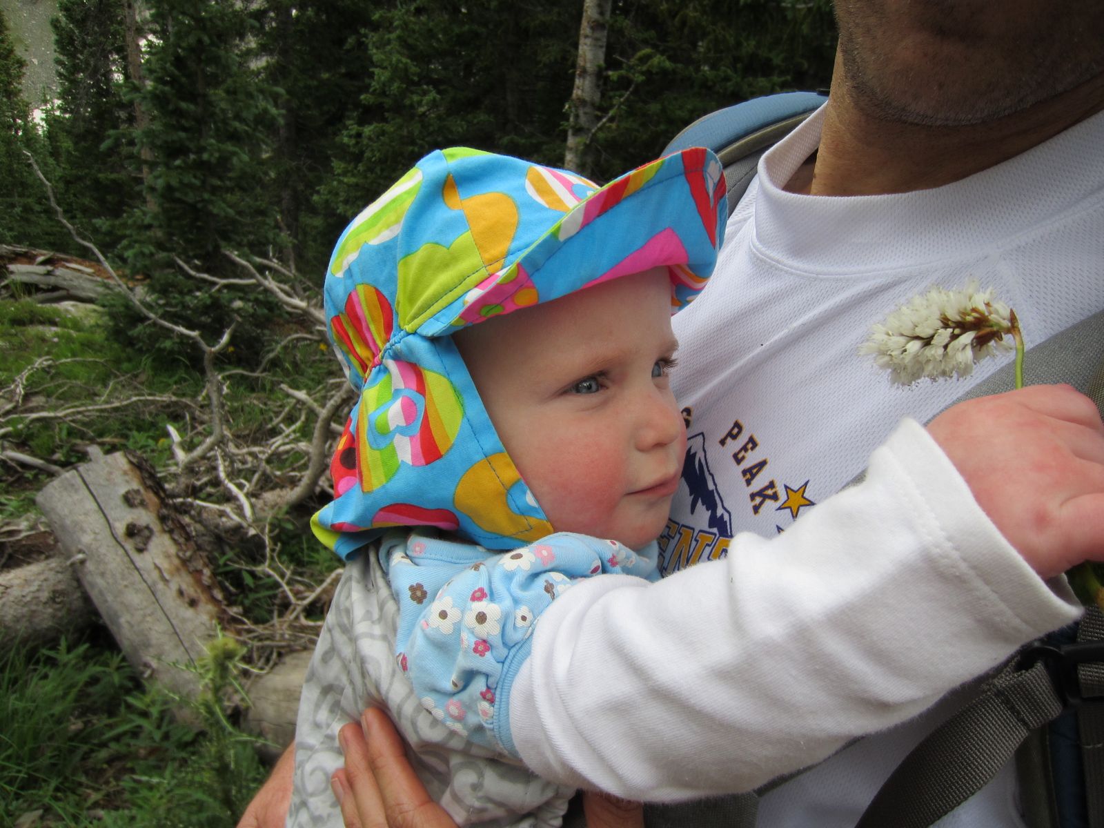
Allison and I met up with George at the junction of 9 and Mosquito Pass Road and gave him a ride up to the London Mine where we began our run, while Allison and Sierra took a casual hike.
Our running pace from the start felt labored and I was really sucking wind trying to adjust for the lack of oxygen, despite my relatively low 148 HR. For the first 10-15 minutes I was trailing George and I almost just told him to go on without me, as I did not want to slow him up, but a few shorts stints of walking seemed to put me back on track and I felt better and better as the run progressed.
It took us about 40 minutes at a somewhat mellow/moderate pace to get to the pass, where we stopped for a minute or two, before continuing on the road to the North that traverses the West side of Repeater and Mosquito Peaks. I started off running quickly for no real reason, other than I was inspired by running on the high ridge at 13,000+ feet and it just felt good. The road is a rolling ascent to the Treasurevault/Mosquito Saddle and we were moving at 7:46-low 8 min/mi pace for a while. I slowed to take a gel (good practice for me since I really am terrible at it when running hard) and while I was a bit preoccupied with that, George passed, opening up a bit of a gap. I had a tough time closing it back, as he made me work for it, but we soon stopped at the saddle to discuss our return route.
I was tempted to blast back on the road, as I was really enjoying the high altitude turnover, but the mountaineer in me won out and I wanted to summit Mosquito and Repeater (though I had climbed them before). I think may have been new for George. We decided on different routes up the peak, where I opted for going straight up the fall line and George contoured a bit on the West side.
I spent 5 or 6 minutes on Mosquito, before we took off for Repeater, where I spent another 5 or so. From there, we headed almost to the pass, trying to balance shortcutting with safe snow travel.
The descent down the road went quickly as we talked about Pikes (of course) and we soon met up with Allison and Sierra at the final switchback, within sight of the car. I walked down with her, while George ran back and forth on the road trying to make his run longer than mine…. ;).
Monday, 07/25/11
North Star Mountain 13,614
8.5 miles/2,500 vert./4:04 Garmin Data
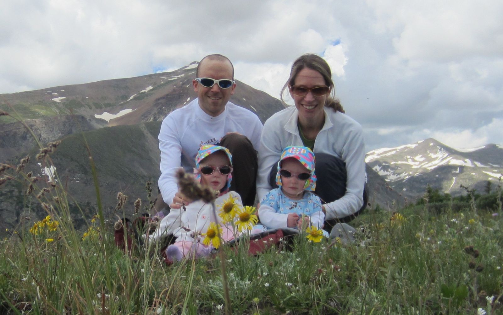
Allison, Sierra and I started from Hoosier Pass and followed the dirt road to the private property gate at ~12,200 feet. Figuring it was to keep out 4wd vehicles (not doing a good job), or to cover any legalities, we cautiously proceeded forward to the first false summit. From the false summit, it is another ~1.5 miles of ridge, over another false summit to get to the slightly higher true summit. Allison decided that the 2nd false summit was good enough for her, so Sierra and I continued on and caught up with her on the way back. The ridge is not technical, but it is rocky and progress can be a little slow (it took me nearly 30 minutes each way, walking quickly, but never running).
Mt. Lincoln

I respect and obey all such signage

Snow in July, Sierra's favorite


Democrat, Clinton, Traver, Mcnamee, Wheeler Lake

Quandary

Looking back at the looong ridge


Ptarmigan

Looking back on the summit


Tuesday, 07/26/11
BroCamDemCamLin (Bross, Cameron, Democrat, Cameron, Lincoln)
16.02 miles/6,087 vert./4:17:13/avg. HR 149 Garmin Data
The views of Bross and Lincoln from the cabin we stay at on Nuthatch Dr. near Hoosier Pass are unobstructed and outstanding, where I find myself spending long moments staring upward, plotting routes if I were going to head up there (have been plotting routes since we started visiting the cabin in 2004). I finally had the opportunity to go run these peaks from the cabin, which made for an amazing outing and unique experience.
I left the cabin at 6:01am and headed down Nuthatch, crossed the river and then ran up Roberts to the Quartzville jct.. There are quite a few Private Property and No Trespassing signs, but at 6:30am, there were not many people stirring, so I ducked through a few undeveloped “roads” until I came to a dead end and just began bushwhacking in a SW direction through the woods. Before long, I broke out of the trees and headed in the direction of Windy Ridge and the road that ascends the East slopes of Bross. Footing was variable, so I jogged occasionally, but was mostly a fast hike from the lower dirt roads all the way to the summit of Bross.
It was my intent to run the road to the summit of Bross to add some miles and true running at altitude, but once I got there and tried it, I was just not into it and reverted to my favorite method, going straight up the fall line. I made it to the Southern side of the summit after 1:37 of running/hiking, then 2 more minutes to the true summit cairn/shelter for a 1:39 trip from the cabin. It was overcast and colder than the previous days, so I did not linger and began boogying toward Cameron which took another 16:38. The run to the Democrat saddle was an easy cruise (11 minutes), then another 18 to the summit of Democrat (which felt like a bit of a slog, as it is steep, was crowded and footing is not great). Footing was even more dodgy on the descent and the crowds (surprising for a Tuesday) did not add to my efficiency. I was moving quick, but as the trail steepened going back up Cameron, I soon reverted to hiking mostly, but picked up the pace near the summit to something resembling a run (it took me 35 minutes to get back, 6 minutes slower than going to Democrat, but a bit more gain). I contemplated tagging Lincoln and then going back over Bross to add some miles, but once I was on top, all I wanted to do was head down.
Once I dropped off the summit of Lincoln to the East (steep scree), the mellow grassy slopes made for some quick progress and I was very near tree line in about 20 minutes. My only real delays were a few steep snowfields blocking easy access to the road out, so I had to scout my way around and cautiously negotiate some steep talus, thick willows, travel through a creek, sidehill for longer than hoped, then traverse a not too steep snowfield (still slow though). I was glad to eventually be back on the road and regretted passing the curve in the road higher on the mountain that would have brought me into the valley between Lincoln and Bross which would have made for faster and less stressful cruising.
Once I got back down to Placer Valley, I was feeling pretty beat and the few hundred feet of vertical back up to the cabin was a bit painful. I really wanted to walk, but pressed on just to build character and get it over with.
This was a solid run and though I did not push very hard (OK, pushed a little bit at times), it felt great to get in a 4 plus hour run, much of it at a very high elevation.
Bross as I broke treeline


Mining ruins at around 13k

From Cameron looking toward Democrat

Ascending Cameron from the Democrat saddle

Looking back at Democrat

Lincoln

Slightly scruffy upper few hundred feet of Lincoln (not bad, but not great for running)

Descent route (you can see the road I should have followed on the right of the picture)

Looking back up

Consolation for getting "off route"

Wednesday, 07/27/11
McCullough Gulch
3.02 miles/953 vert./2:31:56 Garmin Data
Easy hike with Allison, Amelie, Isabelle and Sierra. Went super slow and easy, showing the girls the world we love and stopping often for pictures.


Thursday, 07/28/11
Hoosier Pass/Pt. 12,214
3.11 miles/662 vert./1:30:01
Stopped on Hoosier Pass for one last hike on the way home. Again, very easy walk with a lot of picture taking. The girls really seem to enjoy these hikes and did not fuss once which was promising.


Friday, 07/29/11
Green Mountain
Up/Down front 3.9 miles/2,348 vert./1:08:02 (39:28up)/avg. HR 129 Garmin Data
Started a bit before 7am, went super easy on the up and down and had about a minute delay on the up for an unexpected snake in the trail. I of course jumped and made an embarrassing and involuntary yell that one can only make when almost stepping on a snake. I knew it was a bull snake and not a rattler, but gave it a wide berth regardless and then paused to observe. Took a bit of an alt. route on the descent for an emergency bathroom break.
Saturday, 07/30/11
Green Mountain
12.16 miles/2,844 vert./2:08:54 (1:27:26 up)/142 avg. HR Garmin Data
Started from 5th/University, headed up Canyon to Red Lion, ducked the fence and then proceeded up Chapman Dr. to Ranger/Greenman, then down Ranger/Flagstaff. Was super hot out there between noon and 2, but I felt decent aside from the final ~2 miles when I became a stumbling fool. I never pushed, just cruised mellow trying to not exert myself too much.